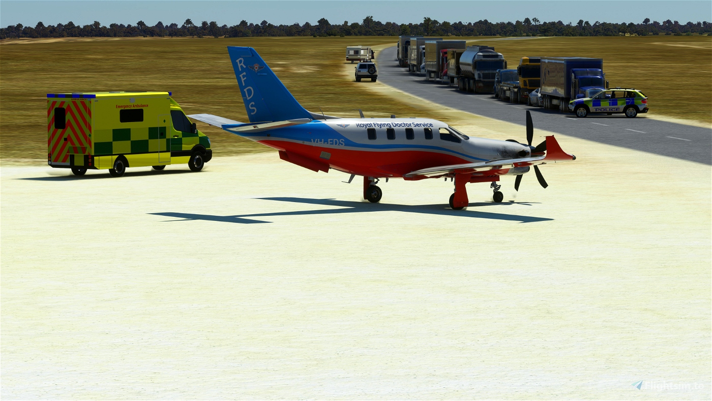
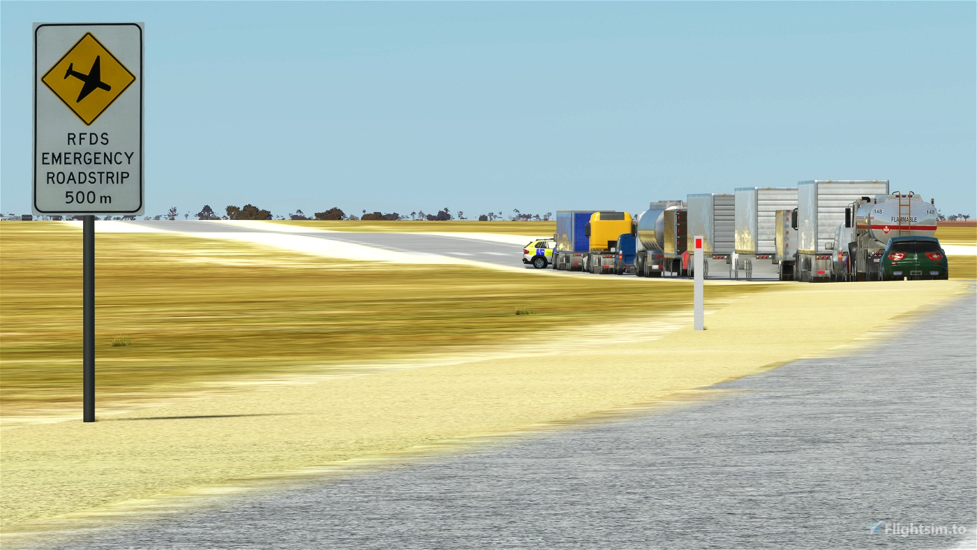
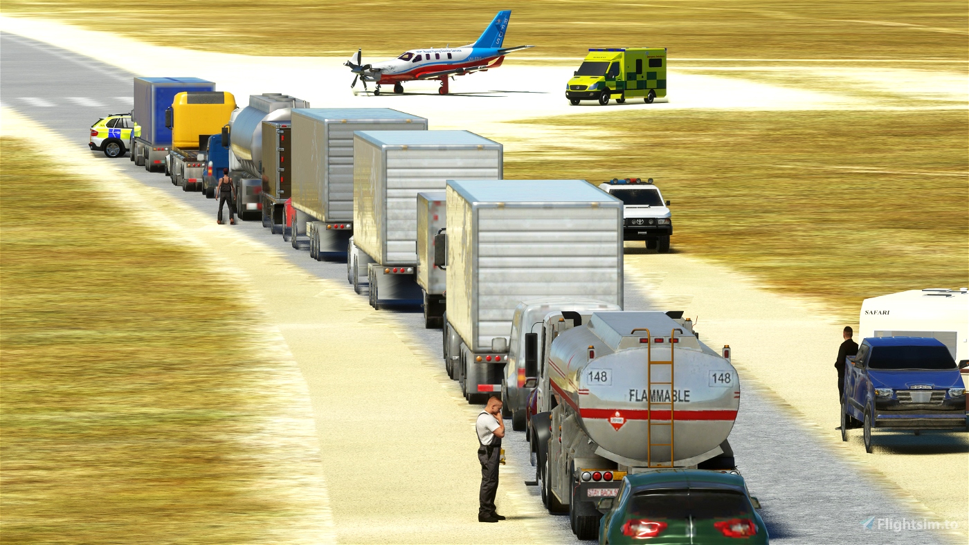
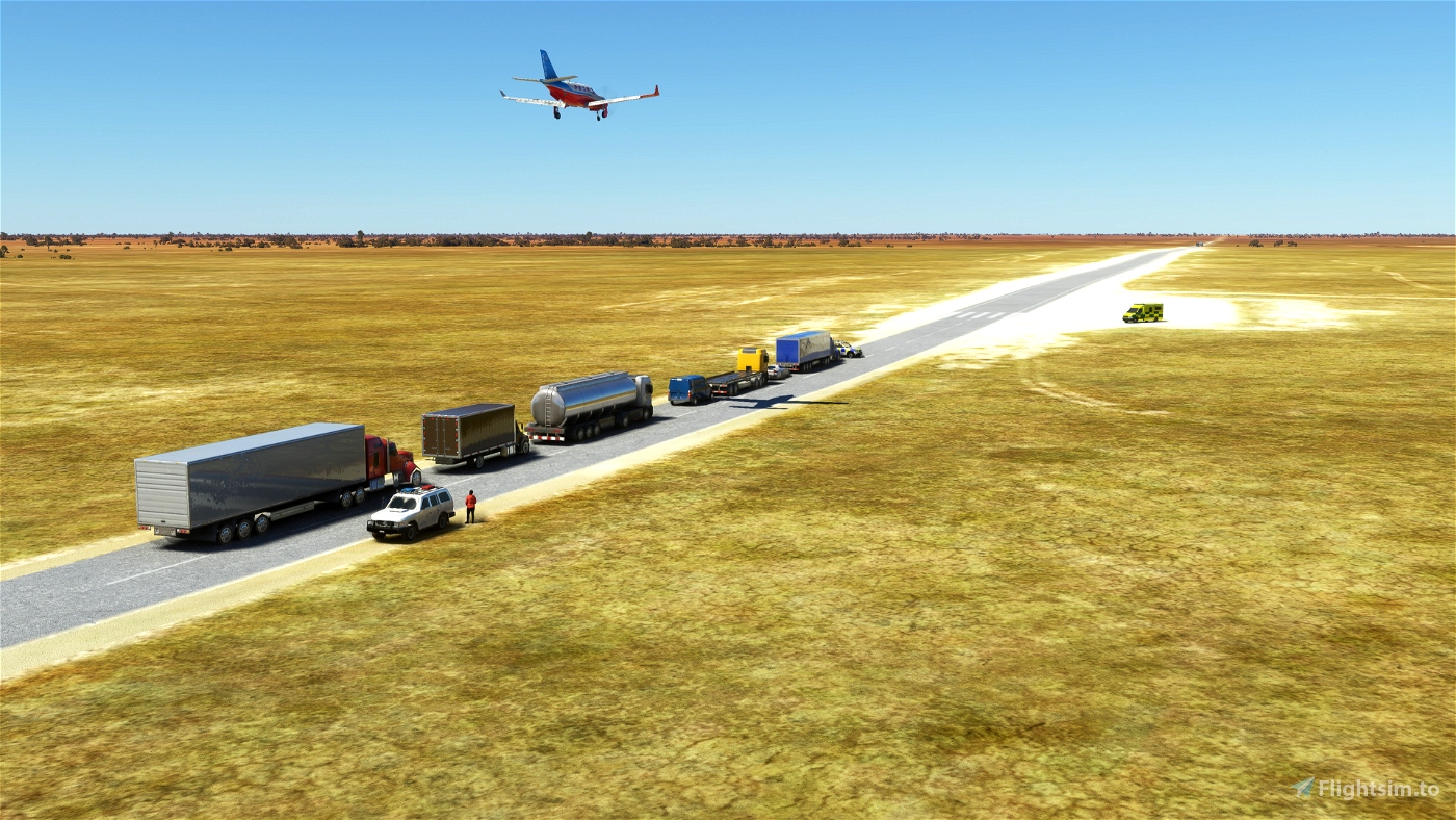
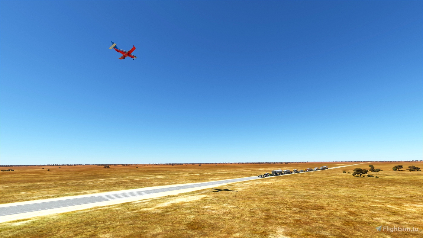
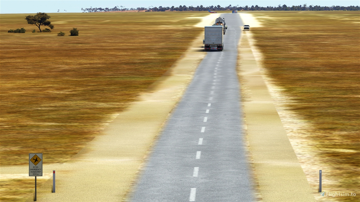
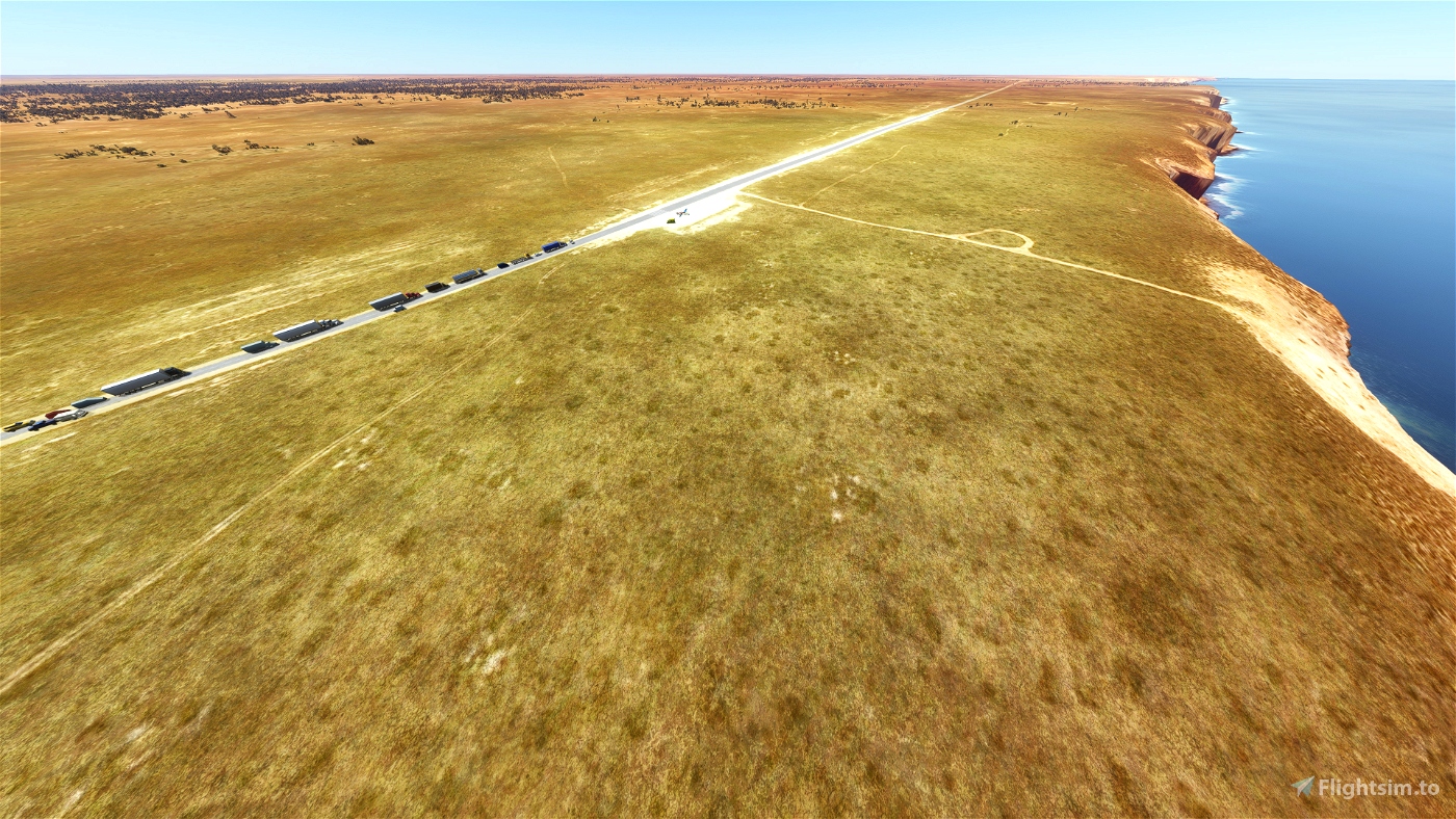
The Chadwick Roadstrip - YCHD, located on the Eyre Highway in South Australia is 389nm from Port Augusta (YPAG) and 466nm from Adelaide (YPAD), the nearest RFDS (Central Operations) opertational bases.
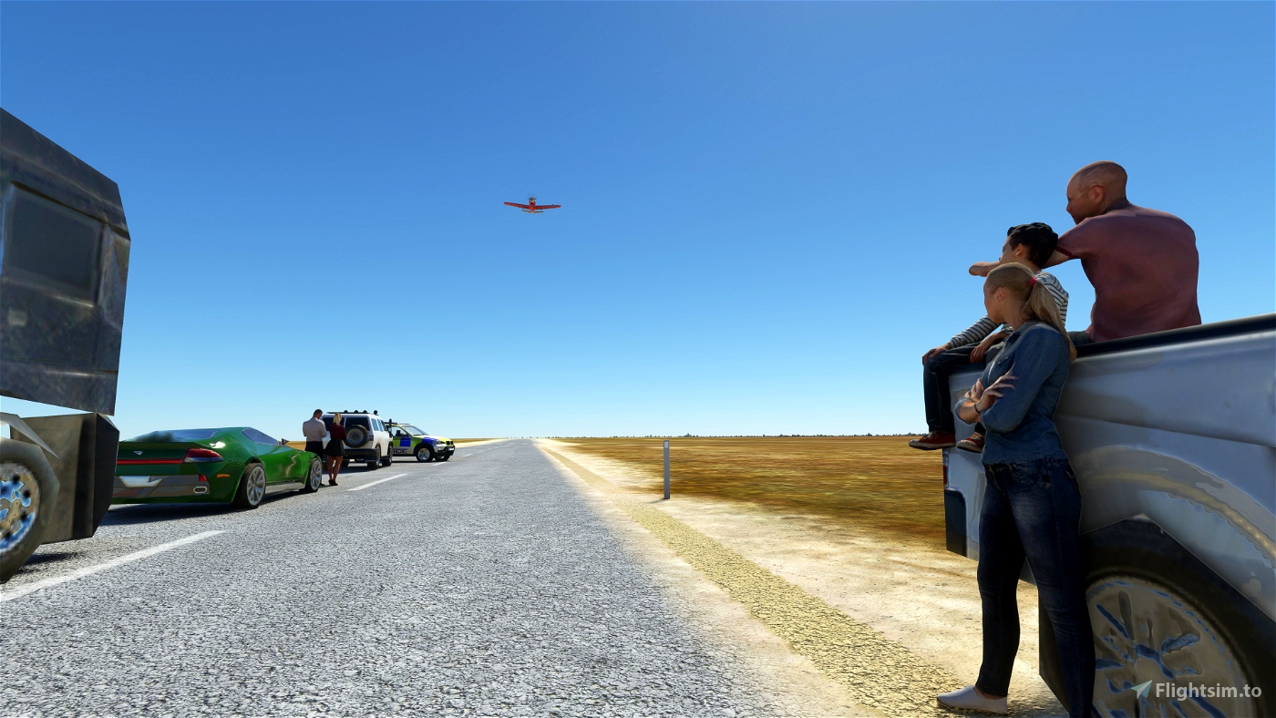
Emergency airstrips utlised by the RFDS provide an emegency landing area when access to medical facilities by road may not be viable due to flooding of roads or distance/time constraints; or construction of a permanent landing area isn't feasible due to the limited usage.
See more of my RFDS Airstrip Series.
About the Royal Flying Doctor Service (RFDS):
The Royal Flying Doctor Service (RFDS) is a non-profit aeromedical organisation, that has been providing primary health care and emergency services for those in rural and remote/outback areas of Australia for over 90 years.
You can read more about the RFDS here: https://www.flyingdoctor.org.au/
Dependencies:
- RFDS Library
- World Update VII: Australia
- UK Emergency Models Library
- Dave's 3D People Library
Known Issues:
- AI vehicles still use the road. To remove go to: Menu > General Options > Traffic. Then under "Land and Sea Traffic", set "Road Vehicles" to 0. Once there is a fix for the scenery, I will implement it.
- Vegetation needs extensive updating. I've fixed some of it, but there is a lot more work to do for it to be representative of the area.
- Emergency vehicles are from the UK. Will hopefully get some Australian (and jurisdiction/state/territory specific) emergency vehicles soon.
Changelog:
0.1: Initial release.
Donations:
While no obligation, any donations towards my RFDS-related projects will go directly to the Royal Flying Doctor Service.

 geekle


RampagingWombat
Hi I don't know if it was this scenery or your traeger-rfds-roadstrip, but between them they completely broke ground services (pushback tug, luggage, etc) at unrelated airports. By a time consuming process of elimination I tracked the cause down to these two, and I deleted the AirportServices directory from each which has resolved the problem.
fStopper
Thank you.
geekle
Some related media: