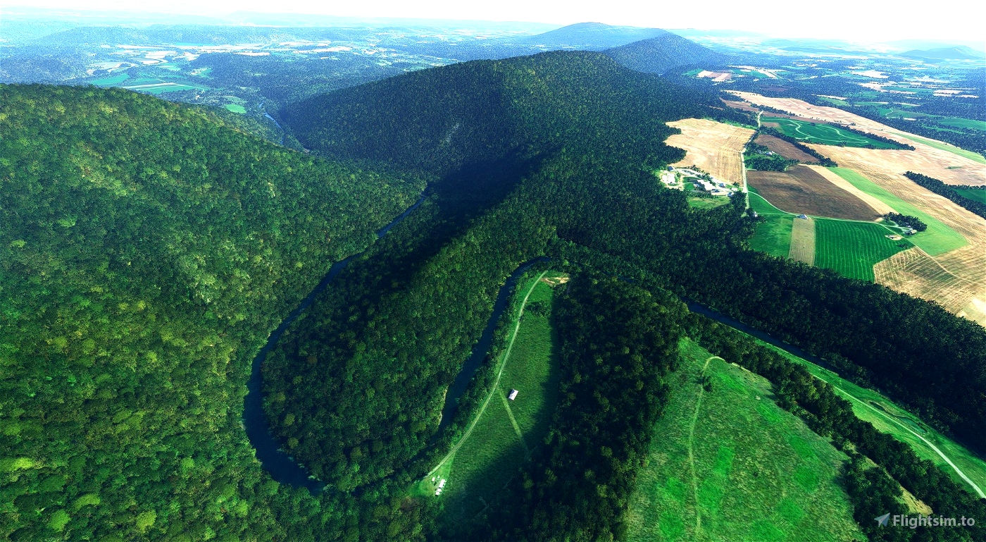
In the Nationwide Rivers Inventory, about this segment of the Little Juniata River it is said "[This] segment passes through Tussey Mountain where the river winds within 2 miles trench with cliff-like valley walls up to 700' in height."
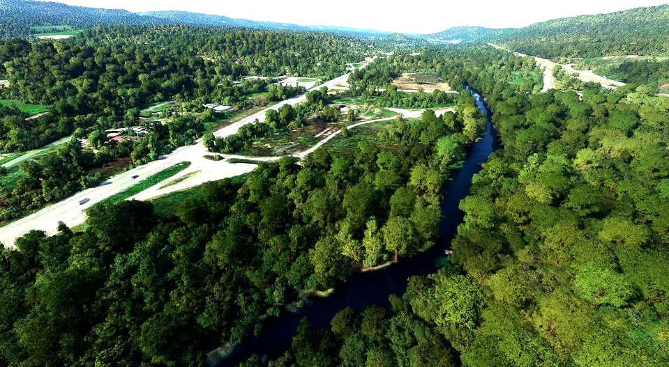
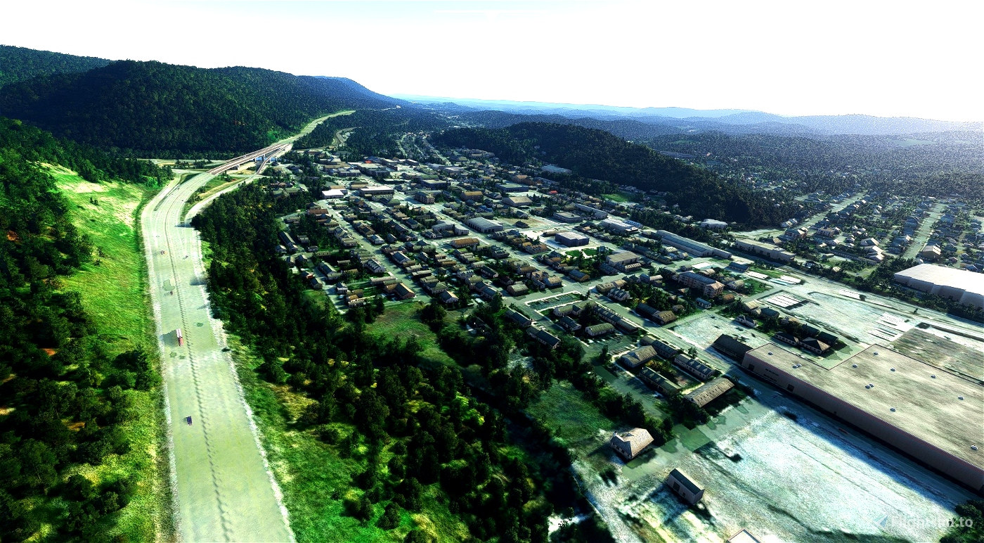
Unfortunately, in MSFS this river was flooded from from Franksburg Branch near Alexandria, through Tyrone (which is also flooded), southwest to Tipton. Also cleaned up is Bald Eagle Creek from Tyrone toward Bald Eage. All said, over 20 miles of river were improved for VFR enjoyment.
Take off from PN64 Hilling Intl and fly west to Huntingdon, then north following the river to Petersburg. Follow the northerly branch north toward Spruce Creek, then follow the river to Tyron. The river continues to the southwest, or you can follow Bald Eagle Creek to the northeast.
Enjoy this "Geologically significant" river segment, and expect more improvements to geographically or culturally significant rivers in the future.

Wow! Thanks for this. I do most all my MSFA flying over Fulton, Bedford, Huntingdon, Blair, etc counties so this fits right in.
2 years ago
topcat1952
Nice Pennsylvania mod I'm definitely downloading it. Just want to mention that you misspelled the river. It's Little "Juniata" River. Best Regards.👍
2 years ago
Oops, thank you! I got it right everywhere but the title I think. I'll see if I can edit that! Edit: Fixed. Thanks again!
2 years ago
CalsFM
Carlos17