LFJH-Palaminy V 1.0
LFJH-Palaminy Update V1.1
3d grass added on track thanks to Cyril for pointing it out to me
LFJH-Palaminy Update V1.2
agricultural sprinklers and tree volumes rectified Thanks to Gribouil for pointing this out to me
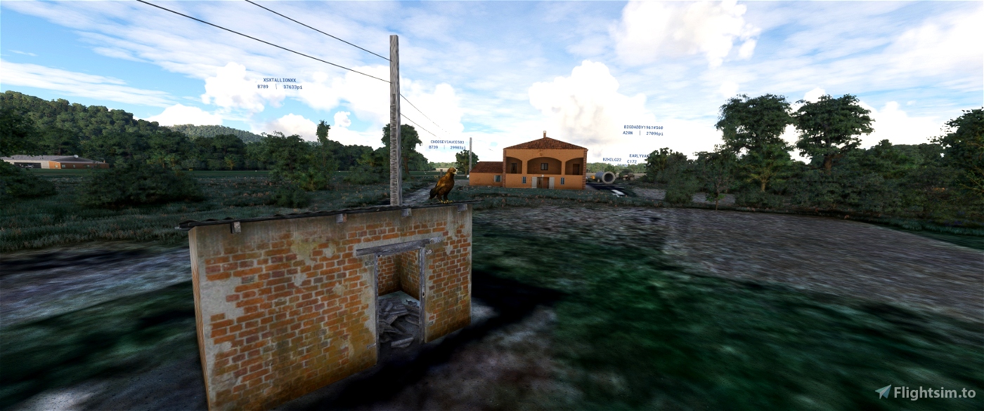
The Cazères - Palaminy aerodrome (ICAO code: LFJH) is an approved restricted use aerodrome1,
located in the commune of Palaminy, 3 km west of Cazères in the Haute-Garonne (Midi-Pyrénées region, France).
It is used for leisure activities and tourism (light aviation).
Half a century ago, a group of aviators set out in search of a site suitable for
their activity. These pioneers took their pilot's licences at the Saint-Girons - Antichan
of Saint-Girons - Antichan. They found a strong ally in Christian de Palaminy
de Palaminy (1905-1976), himself a pilot in the French Air Force. He agreed to
to make land available to the new flying club. It was nevertheless necessary to fit out
what was originally a vast expanse of broom. All kinds of goodwill and
contributions were used.
Paul Ferré and Gilbert Marrast (both now deceased) set up what is still today's flying club.
still the aeroclub it is today. Paul Ferré, who helped finance the purchase of the first plane,
was president for 33 years. Amédée Escoda, the man who bought the runway from the
de Palaminy family, succeeded him. He was succeeded by Gilbert Marrast who, during his
the current hangar. He left too soon, in November 1999,
Daniel Valadier replaced him in 2000, ensuring that the new European directives2 were put into practice.
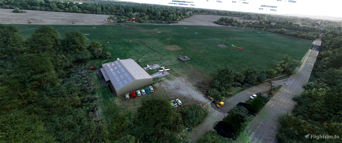
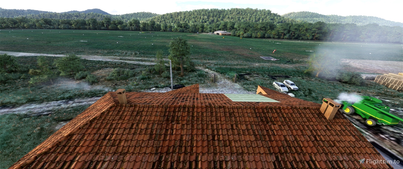
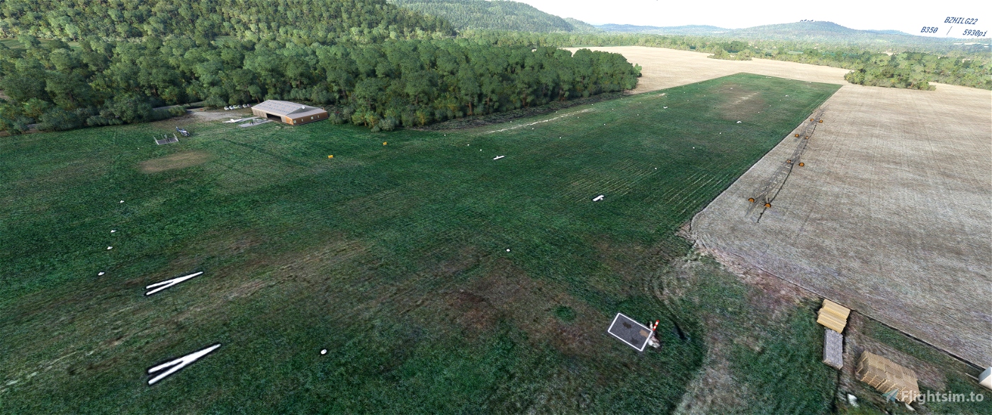
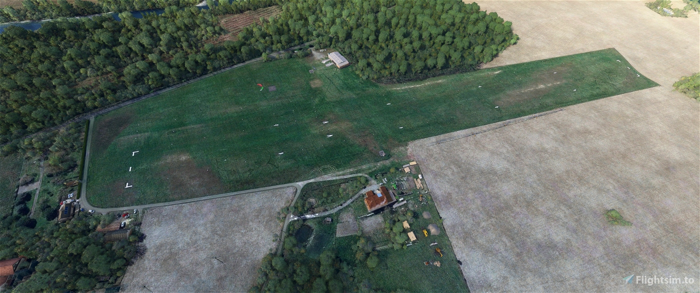
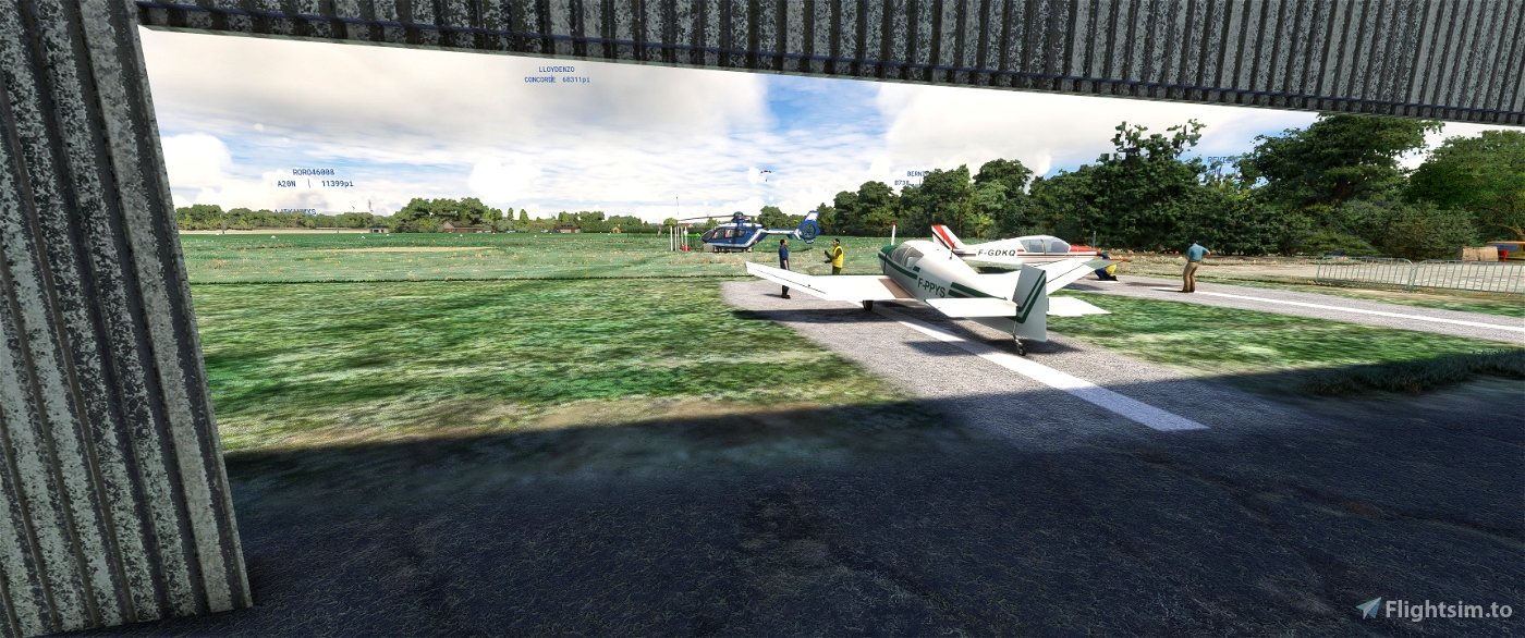
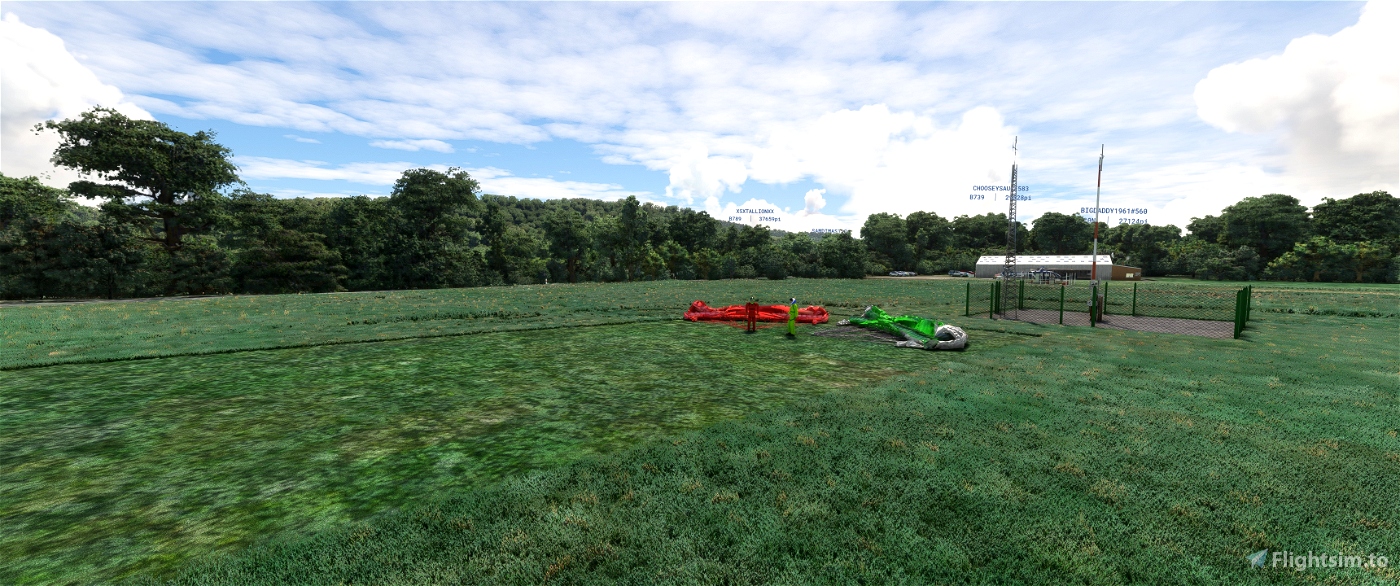
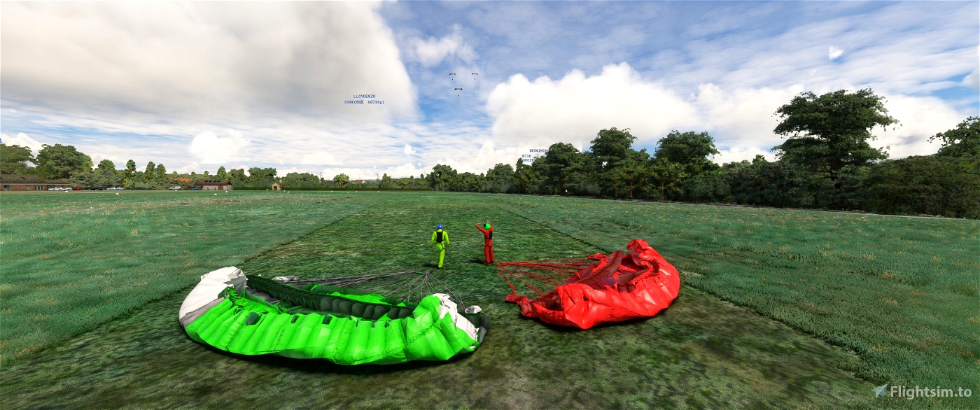
The airfield has a grass runway running east-west (09/27), 880 metres long and 50 metres wide.
The airfield is not controlled. Communications are self-information on the 123.500 MHz frequency3.
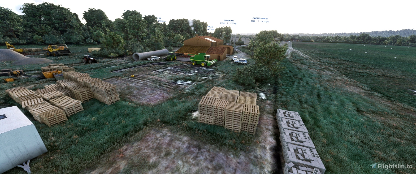
the scene was made with the google maps base of Map Enhancement because much better than that of bing after you
are free to do as you please!
you'll need two libraries
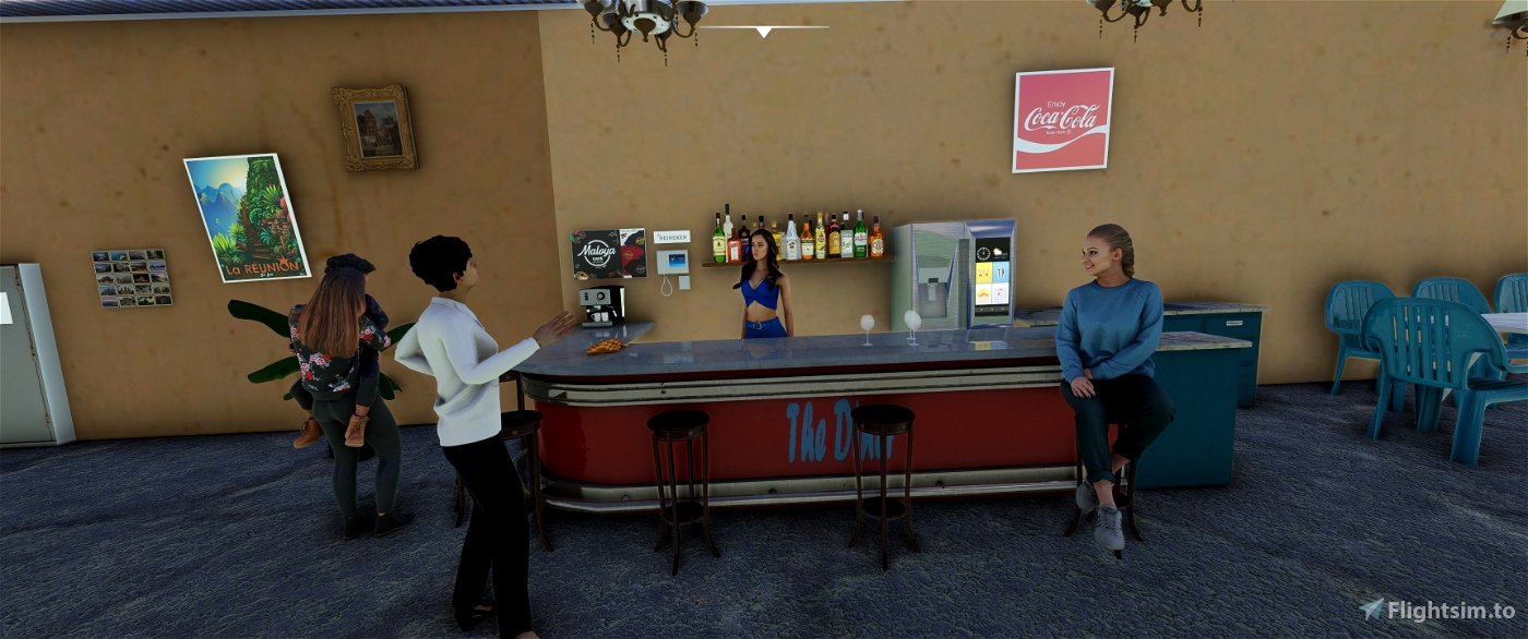
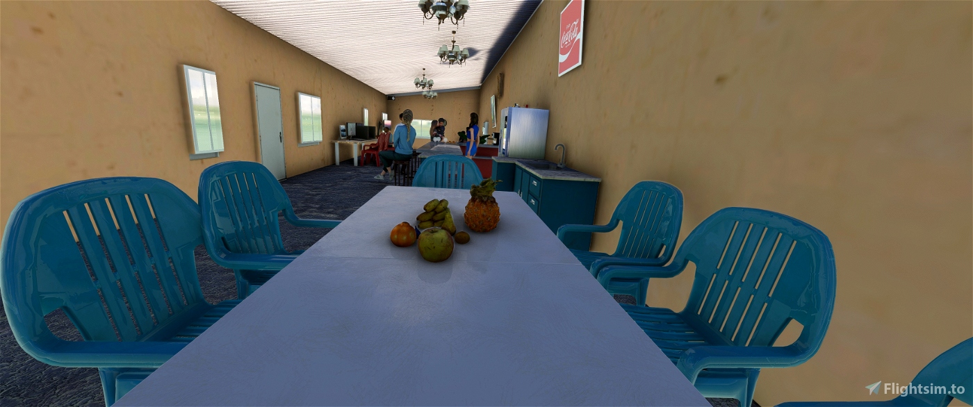
Animated Human 3D Models Library
https://fr.flightsim.to/file/33166/animated-humans-library
totof library object V5
https://fr.flightsim.to/file/17179/totof-library-object-v1-1
read the text file
laserjet©34 december/2023
______________________________________________________________________________
LFJH-Palaminy V 1.0
LFJH-Palaminy Mise a jour V1.1
rajout d'herbes en 3d sur piste merci a Cyril de me l'avoir signalé
LFJH-Palaminy Mise a jour V1.2
arrosseurs agricoles et volumes d'arbres réctifier Merci a Gribouil de me l'avoir signalé
L’aérodrome de Cazères - Palaminy (code OACI : LFJH) est un aérodrome agréé à usage restreint1,
situé sur la commune de Palaminy à 3 km à l’ouest de Cazères dans la Haute-Garonne (région Midi-Pyrénées, France).
Il est utilisé pour la pratique d’activités de loisirs et de tourisme (aviation légère).
Un demi-siècle plus tôt, des aviateurs se mettait en quête d'un terrain susceptible
d'accueillir leur activité. Ces pionniers passaient leur brevet de pilote à l'aérodrome
de Saint-Girons - Antichan. Ils trouvaient un allié de poids en la personne de Christian
de Palaminy (1905-1976), lui-même pilote dans l'Armée de l'air. Celui-ci acceptait de
mettre un terrain à la disposition du nouvel aéro-club. Il a fallu néanmoins aménager
ce qui n'est à l'origine qui vaste étendue de genêts. Toutes les bonnes volontés et
contributions diverses étaient utilisées.
Paul Ferré et Gilbert Marrast (tous deux disparus aujourd'hui) créaient ce qui est
toujours l'aéro-club actuel. Paul Ferré, qui permet financièrement l'achat du premier avion,
en sera le président durant 33 ans. Amédée Escoda, artisan de l'achat de la piste à
la famille de Palaminy, lui succède. Vient ensuite Gilbert Marrast qui, durant son
mandat de président, mettra en œuvre le hangar actuel. Parti trop tôt, en novembre 1999,
Daniel Valadier le remplace en 2000 assurant la mise en pratique des nouvelles directives européennes2.
L’aérodrome dispose d’une piste en herbe orientée est-ouest (09/27), longue de 880 mètres et large de 50.
L’aérodrome n’est pas contrôlé. Les communications s’effectuent en auto-information sur la fréquence de 123,500 MHz3.
la scène a été fabriquer avec la base google maps de Map Enhancement car beaucoup mieux que celle de bing après vous
êtes libre de faire comme il vous semblent !
vous aurez besoin de deux bibliothèques
Animated Human 3D Models Library
https://fr.flightsim.to/file/33166/animated-humans-library
totof library object V5
https://fr.flightsim.to/file/17179/totof-library-object-v1-1
lisez le fichier texte
laserjet©34 décembre/2023

 laserjet34


3 months ago
3 months ago
laserjet34
balmax31
Balmax31.
3 months ago
3 months ago
laserjet34
balmax31
3 months ago
3 months ago
laserjet34
balmax31
Merci
4 months ago
4 months ago
laserjet34
NEPTUNE
Par contre je n'ai pas un seul brin d'herbe sur la piste, c'est voulu ?
[Edit] : problème d'herbe corrigé !]
4 months ago
4 months ago
laserjet34
ScenaReal
4 months ago
4 months ago
laserjet34
rockshox
Bravo pour ton travail, j'ai déjà hâte des prochaines créations
4 months ago
4 months ago
laserjet34
JAF3414
4 months ago
4 months ago
laserjet34
PAPYDANIEL66
4 months ago
4 months ago
laserjet34
WRATH
Dommage de ne pas pouvoir mettre plus d'étoiles... 😉
4 months ago
4 months ago
laserjet34
gribouil
très productif et on est pas encore au printemps ..!
4 months ago
4 months ago
laserjet34
NEPTUNE