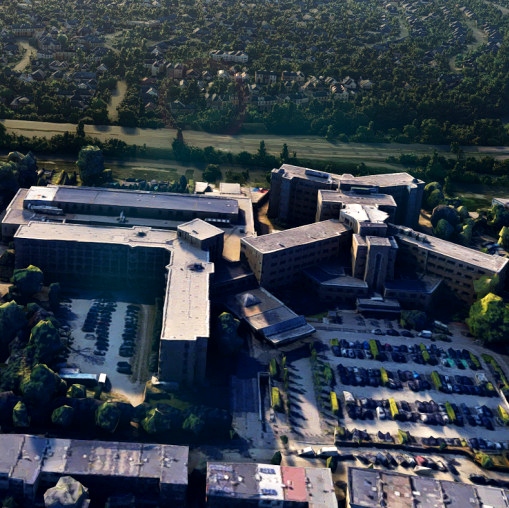
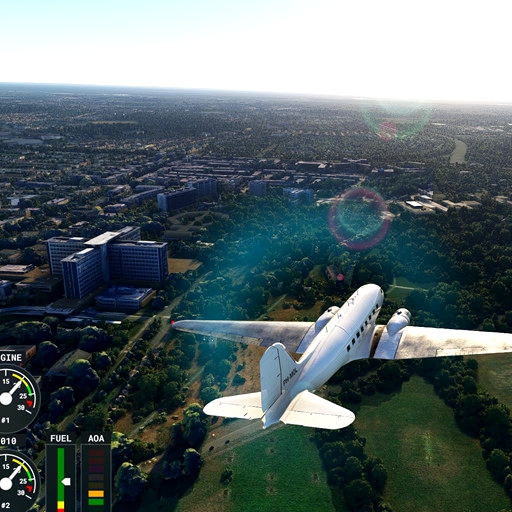
GZA ziekenhuizen Antwerp
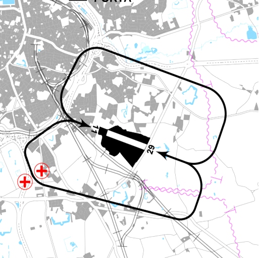
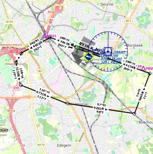
To fly a perfect EBAW VFR circuit, landmarks are important. To approach Antwerp via RWY 11 left and RWY 29 right, there are sufficient landmarks with the downloads of Antwerp (flightsim.to) However, for the RWY 11 right and RWY 29 left, the crucial landmarks hospitals ZNA and GZN are, to my opinion, not clear enough. For better visualization I created both hospitals.
After installation :
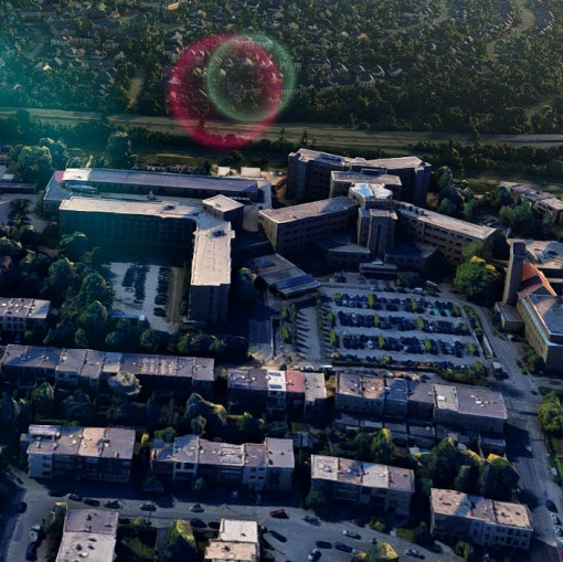
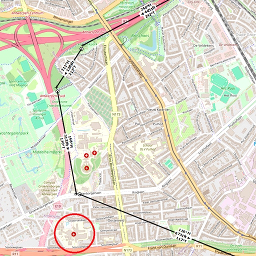
RWY29 left; fly crosswind (see AIP) and turn downwind by passing ZNA on the right and GZN on the left at 110° or you follow the N10 to the industrial estate to turn to base. At the green greenhouses of Barka BV you turn final. The N10, the industrial estate and the greenhouses are clearly visible in MSFS as a landmarks so they are not modified.
Because it is my first project, I was unable to get both hospitals into one file, so I created ZNA and GZN.If you want more (small) alterations let me know, keep in mind that alterations only can be performed when the area is in Google 3D
Thanks for the creator of used tools:Blender/MSFS toolkit/Earth2MSFS/Google earth optimization tool/SDK MSFS
