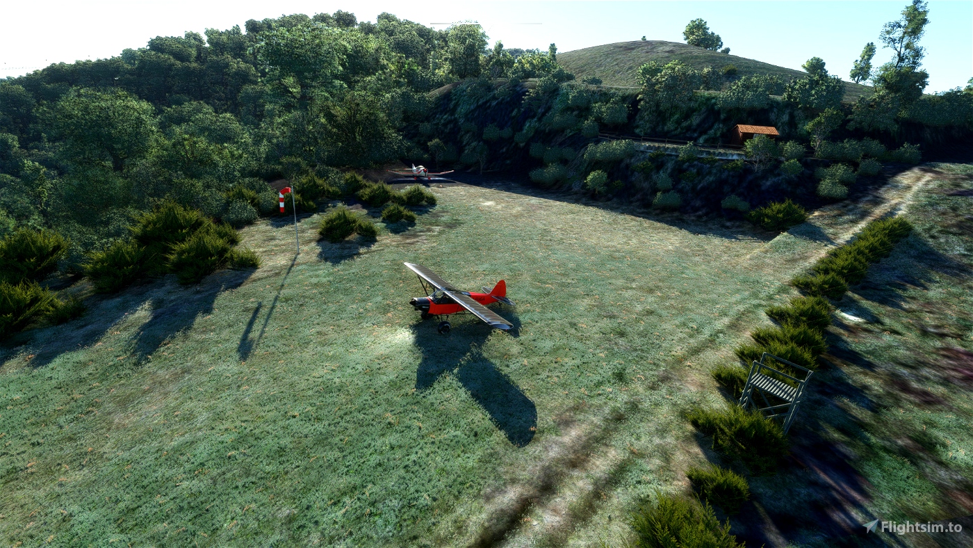
Ouverte en 2018, cette altisurface est située dans Sud Beaujolais sur la commune de Saint-Cyr-Le-Chatou, département du Rhône (69) France.
Seule altisurface du Rhône permettant d'obtenir la qualification montagne, elle remplace l'altisurface de la Croix-Rozier fermée en 2016.
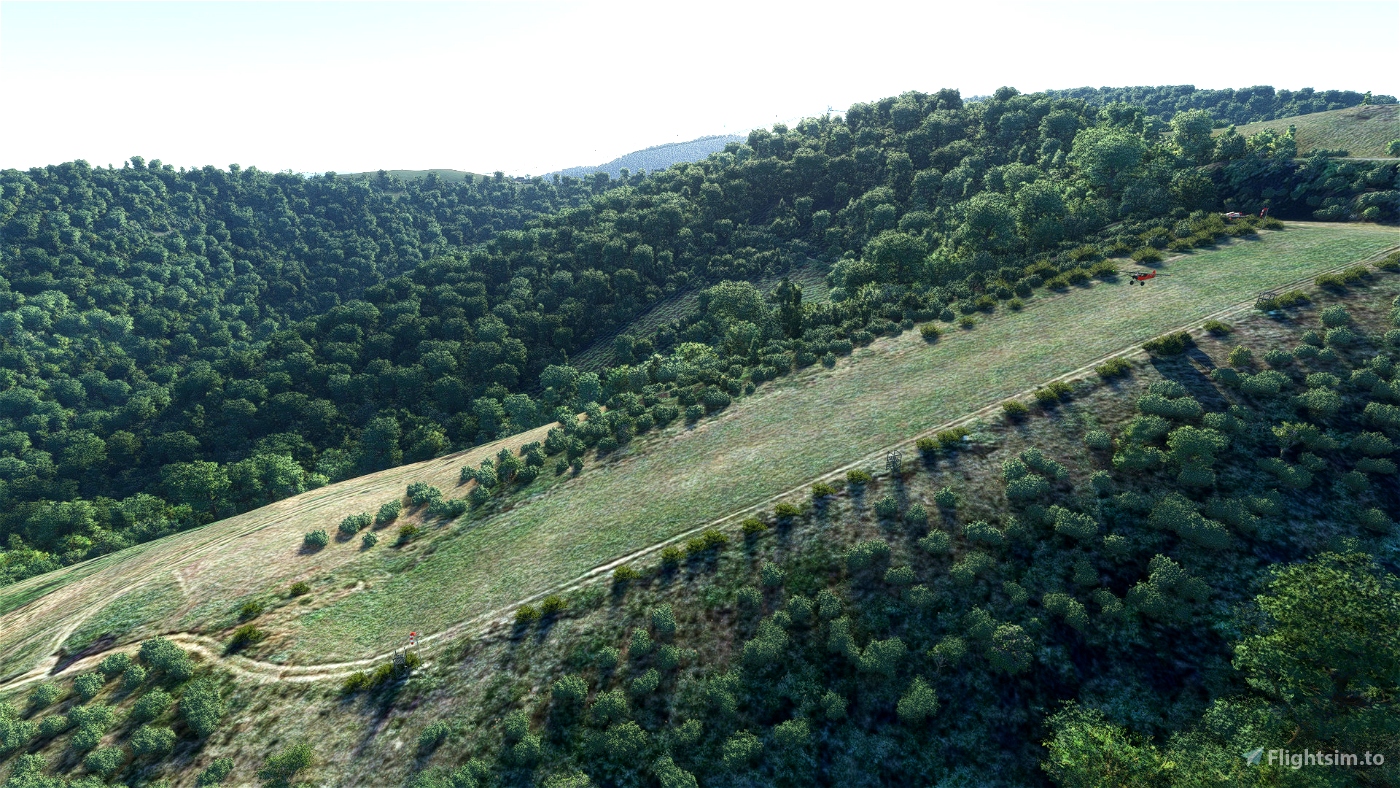
Attention pente de 20%
Opened in 2018, this altisurface is located in the Beaujolais region, commune of Saint-Cyr-Le-Chatou, Rhône department (69) France.
The only altisurface in the Rhône to qualify for mountain status, it replaces the Croix-Rozier altisurface, which closed in 2016.
LAT: 46 01 55 N LONG: 004 33 21 E Alt: 2110ft
ICAO MSFS: F6953
QFU: 06-24 Surface: grass Dimensions: 230mx18m Slope: 20%. Preferred track: 24
Information:
Landing in 24 - Takeoff in 06
Right hand turn 2300ft
Nearby fields:
Terrain Distance Heading
LFHV - Villefranche Tarare 7.5Nm (13.9 km) 152°
LFHW - Belleville Villié Morgon 9.3Nm (17.2 km) 043°
LFKL - Brindas 20.2NM (37.4 Km) 161
LFLY - Lyon Bron 24.2Nm (44.8 Km) 136°
*** Google Maps tiles recommended ***
Library used:
tsr-windy-things
mikeaat-assetpack
totof-aircraft-library v4
Thanks to them for their work and their contributions to the simmer community!
Enjoy the flight!

 fugazi01


I'm missing a texture on the hill above the strip.
I guess probably because of the Bing maps. Better update my google thing.
A couple of photos on the forum here:
https://forums.flightsimulator.com/t/list-of-fun-airstrips/315937/56?u=parorng
3 months ago
Parorng
5 months ago
5 months ago
fugazi01
coromon
5 months ago
5 months ago
fugazi01
fStopper
5 months ago
5 months ago
fugazi01
bagolu